
This is a four day/three night trip of about 1400 kms (with detour) in the South and West of the State for those who love riding, the bush and country towns, The focal point is Lake Cargelligo. The usual applies – mind the speed limit, take notice of advisory signs and don’t forget your rain gear.
We start from Parramatta and head south down Church St., into Woodville Rd and then Henry Lawson Drive. It’s on the first (gentle) curve of The Drive that your correspondent starts to smile and feels in holiday mode. In fact from here on this rider finds himself smiling a lot as he moves along, often for no apparent reason – it’s just great to ride – and what riding! Usually 5/6/7 hours a day (with timely rests).
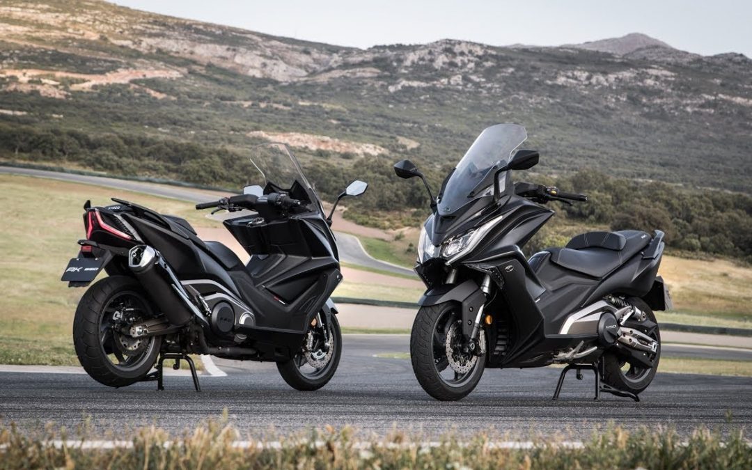
The ride is comfortable and my machine (A Piaggio Xevo 400) is more than adequate for anything the road dishes up – plenty of power and lots of space for my gear – rain gear, pump, sparkplug, tyre inflating cylinder, security chain, breakfast, rest stop food and lunches, clothes, maps, book, water, thermos etc etc. It’s important with trips like this that a good bit of time is spent studying the map before you leave and use Google street view (check how old the image is though). Navigating “in the bush” is not too difficult either. There are not a lot of streets to confuse you and towns are well signposted so if you make them your ‘way points’ you can’t really go wrong.
I have made these trips on a 250 Piaggio which coped well enough but on some of the steeper hills you lose about 10/20 kph (depending on the load your carrying and the size of the hill) by the time you get to the crest. In truth out west (my favorite place to ride!) hills aren’t usually an issue!
We proceed along The Drive till Newbridge Road and turn right, follow Newbridge for about 4 kms then turn left into Moorebank Ave. We then take the South Western Mtrway (like we are going to Canberra) for our first stop, Goulburn (about 160 kms and an hour-and-a-half). Mind the trucks – from time to time you may find yourself in a “truck canyon” but it thins out just past Campbelltown for relatively easy if boring riding.
Our rest stop can be taken in Belmore Park (on your left about three kms after Maccas). Here you will find parking, historic buildings, cafes, toilets and a great spot for lunch.
Belmore park
If however, you can hold off a little longer backtrack to the Crookwell turnoff(400 m or so back along the main drag – Goldsmith Street) and follow that for about 25 kms till you get to Pejar Dam where you’ll find toilets, tables and a great view (but no cafes!). After the dam and before we reach Crookwell we will see rolling countryside, farm beasts AND a windfarm – worth a look. Regrettably Crookwell is not as pretty as some country towns but it has all the facilities. Head straight through town (it becomes Binda Road) till you see the turn off to Boorowa (Narrawarra Road).
Your correspondent had afternoon tea at Boorowa – beside a lovely little lake (with fountain) behind the Council Chambers, near the pool. In this park you’ll find more toilets. The road from Goulburn to here is great, sweeping curves but some roughish surfaces, farm machinery, and the odd SLOW DOWN! spot. Up till now it’s been pretty green (November 2014) but it is starting to brown. Our next ‘way point’ is Harden – you’ll see the sign near the park in Pudman Street. We will turn left to Harden and proceed for about 3.5kms where we turn right onto Boorowa Harden Road. In about 35 kms or 30 minutes or so we reach Harden. This rider was RBT’d at Harden by a very young (aren’t they all) and polite constable – I like to see this, not only is it our tax dollars at work but these guys keep us safe! Again the surface can be uneven at times but the scenery! The ride! Go straight through Harden (actually the “main drag” is off to your right) and proceed to Wallendbeen (about 20 kms) and turn right to Cootamundra. Coota will be our first overnight stop for a well-earned rest!
There is loads of accommodation to choose from in the town (population about 6,000), plenty of eateries, the four big banks (ATMS abound) AND a heated pool. There is a Bradman Museum too and as much history as anyone could handle. You’ll note the (right) turn to our next ‘way point’, Temora, as you come into town, make a note, as we will be heading that way in the morning. Cootamundra is a must visit place for its (Cootamundra) Wattle Festival (August) – Google it! A ‘plug’ for my accommodation, the Wattle Tree Motel, is in order here – it was cheap, cheerful and good!
Next morning this rider had a little tour of the town before heading off to Temora and found ‘Coota’ a beautiful little town with good parks and plenty to interest the visitor – recommend it! The road to Temora (Temora Street, back down the main drag) is a good one with the usual farm scenery, “rolling hills” and crops. It’s just on an hour to Temora with one left turn on to the Burly Griffin Way after about 22 kms or so at Stockinbingal (there is a sign pointing to Temora). Your correspondent was lucky with his timing as the Jacarandas were still in bloom when he got into Temora and he road through an “avenue of purple” as he entered the town. Turn right at the round-about and head for our next ‘way point’, West Wyalong. Temora is famous for one of the greatest of pacers – Paleface Adios – which has a memorial dedicated to him(?) in the main street. It’s two other claims to fame (there could be more!) is the V8 Super Boat track (gotta see this to believe it!) just north of town at Lake Centenary and the very excellent aviation museum. I can highly recommend the museum if you have any interest in old planes. Both items are well sign posted.
The country side has changed markedly from that around Goulburn or even Cootamundra with it becoming more quintessential ‘aussie’ – browner, dryer and hotter! It’s about now that this rider truly appreciated his riding jacket – it’s a good one with lots of protection of course but more importantly plenty of air vents and, I’ve removed the lining to make it cooler still. If you want to ride anywhere out here this sort of equipment is essential. Good gloves are necessary too. The ones I have have mesh on the backs of them, soft leather on the palms but still plenty of knuckle protection. Our ride continues and there is still lots to look at along the way – note this old house on the left of the road a couple of kms out. Our next marker is Barmedman – really unremarkable except for a rather grand church.
Perhaps in its heyday the town must have been bigger! Nowadays Barmedman has a population of 250 or so which would not I think, have filled the church. They do hold a tractor pull and you can get a coffee there! But for us it’s on to West Wyalong. In fact there are a great many churches large and small all over the state in seemingly unusual places where there was once a need for them.
We stay on our current course till we reach the Newell Highway where we turn left, go through Wyalong, into West Wyalong (a really cute town with all the services you will need) and take the right turn to Lake Cargelligo on the other side of town.
A Lunch stop maybe looking good at this stage (we have done about 130 kms & been out for a couple of hours or so) but it is a little early yet so we will hold out till we get to Ungarie (another 40 kms and half-an-hour). This rider didn’t find much to recommend Ungarie for but it did have a neat spot for lunch with shade and toilets.
Our next night stop is not far now (about 75 kms) It’s getting hotter and dryer still but the riding is still great and the machine is working very well and remains comfortable! The trip into Lake Cargelligo is unremarkable except as you get closer into town you will see something interesting.
Graphite Energy has a “3MW Solar Thermal Power Plant” at “The Lake” (according to their website). The plant’s towers rise out of the (stunted) bush like you’re on a “War of the Worlds” movie set (Tom Cruise?). It appears that the mirrors ‘collect’ and concentrate the sun’s energy focusing it on the towers where the Graphite is heated. The stored heat (energy) is then available for use at night. You can’t get very close (“authorised entry only”) and I understand they don’t do tours but it is interesting.
It is still early so after some fuel in town (just as we arrive) and a chat to a Harley rider a detour beckons.
We come into the town on Walker and we will turn right into Foster (the servo is on the corner) and head straight for about 400 m for a left to Euabalong. We eventually will make it to Mount Hope about 100 kms away. There is an early turn off to Mount Hope but don’t take this one unless you like dust, sand and corrugations! Euabalong is about 28 kms from “The Lake” on a good road. Once at Euabalong we take a left into Lachlan then another left into Robison which becomes Mt Hope Road. It’s all sign posted and it’s difficult to get wrong (or certainly lost as there are not a lot of roads to make navigating difficult). The 70 kms stretch from Euabalong to Mount Hope is a great ride – long straight stretches & a few tightish bends. It’s is all well signposted for hazards – there are a couple of cattle grids but they are all in good repair and well signposted. Careful on a couple of the curves and follow the advisory signs.
Locals told me that a truck (obviously not following the road advice) overturned at one spot! I passed three vehicles on this road – wonderful isolation – and had a cattle truck (well) behind me – I thought trucks were limited to 100 kph? This is not a ride I would attempt at either dawn or dusk – too many kangaroos or sheep or emus or dogs or pigs! – but well worth the effort in getting ‘out’ this far – we are in fact 550 kms west of Sydney! The road ends at the Kidman Way where we take a right go past the pub for a rest at the ‘picnic’ table near the RFS? Shed. It was hot here, 44 degrees in the sun! After a short rest we turn around and head south on the Kidman Way past our “Mt hope” ride road and head towards Hillston.
This part of the state is as Aussie as they come with scrubby, dry, hot country and plenty of birdlife. Even wildflowers! We follow The Kidman Way (he was an early cattle Baron) for about 60 kms till we see the Lake Cargelligo turn off and head there. This is another interesting ride, good surface and no traffic other than the odd local. Your correspondent did see the local wildlife in action when he spotted an (unknown) bird of prey with a victim in its talons! Finally we arrive in town and head straight towards the lake where our accommodation, food and a good night’s sleeps awaits. It’s been a long but great day. There is nothing better than zooming along in the great outback outdoors. An interesting phenomena I get after a long day ‘in the saddle’ is when my brain tells me my hands aren’t ‘straight’ – as in holding the grips perpendicular to the road – but one hand is nearer my chest! A visual examination tells me they are where they should be!! Time to rest, walk and relax. A quick look at the lake and then dinner (two pubs and a takeaway to choose from – the first pub is good but I decide on the takeaway) and sleep…..
After watching an incredible sun rise, a brisk walk with fish jumping in the lake and breakfast it’s “on the road again” and to Bathurst via Forbes, Canowindra and Orange. First fuel, then take the Condobolin – Lake Cargelligo Road (which starts out in the centre of town as Canada Street) past Graphite Energy. There are more views of the lake if you want to have a look but it will require you to leave the sealed road. There are a couple of spots along this road where you have to be real careful. After about 37 kms outa town there is a sharp right and left while a further 8/9 kms brings you to a sharp left then right, we are heading toward Condobolin but don’t plan to go all the way into ‘Condo’. We will turn right to Forbes along the Lachlan Valley Way – about a kilometre shy of the town. There is a reasonable spot for a break (at least a table with seats) about 7 kms short of this turn off at Wallaroi Creek just as you get onto Condobolin Wyalong Road.
The Lachlan Valley Way to Forbes is 100 kms of good road, isolated farms and cattle! This rider noted the ubiquitous “Cattle on Road” sign after about 80 Kms not expecting to find any – the signs are usually left out by farmers “forgetting” to bring them in! – but find some I did – a couple of kilometres of ’em .
It is a little intimidating, when you’re on a bike or scooter, most of the beasts are bigger than you and they are unpredictable! They may be used to being rounded up by a bike so I don’t know if that’s an advantage or it’ll remind them of a ‘bad experience’!!! Just take it slow and steady and you should be OK. Finally through the mob and you’re almost at Forbes. The ‘Way joins the Newell Highway where we turn left. Just as you get into the town on your right is the Forbes Car Museum – I didn’t go in but it’s must be worth a look just for the picture!
About 400 m past the museum is the Lachlan River where we will see on our right a nice little spot for another rest and maybe a bite to eat (if we have self-catered – the eateries are further into town). There is shade, seats, toilets and a Sabre Jet on a stand looking a little sad and worn but interesting none-the-less.
We want to continue into town to take the turn off to Orange – there is a park on your left, a servo where we turn right onto Camp Street which becomes Bridge which becomes Orange Road. We will not head straight to Orange but detour to Canowindra. Follow the signs through Eugowra and you can’t go wrong.
Again the scenery is beautiful, now very green and picturesque, Canowindra itself is famous for a balloon festival (hot air ones!) in April. We will find one of the best shops in the state as we leave the town and head to Orange – the Canowindra Trading Post, great gifts for those you have left behind for this ride and fantastic coffee in a lovely shady garden.
We say goodbye to the trading post (pick up something for the missus!) & head to Orange past Mount Canobolas as you get nearer to the town. We can stop at Cook Park for another break if you like – it’s on your right after the first round-about. It’s worth a look. Orange has all the Facilities you want but we can’t stop for long as we are due in Bathurst (straight through town on the main drag) for our accommodation.
The road to Bathurst is uneventful and this rider’s accommodation was on the Great Western Highway conveniently close to several takeaways. It’s a good nights sleep then away for home in the morning – can’t wait!
The morning is fresh and clear just perfect for our short ride back to base. We sort the bill and start off battling the local ‘peak hour’
Soon we see Lithgow (there’s a Maccas there which is popular) and up Riverlett Hill and Victoria Pass. At the top is Mount Victoria but there is time for one last stop at Mount York – this where the original road over the Blue Mountains in 1813 started the descent to Hartley Valley. The (left) turn off to the ‘mount’ is just past the Caltex servo. At the summit you will find the greatest view and toilets. After our break we can back track to the highway, turn left and head home. The trip back over the mountains is pretty much suburbia with traffic, trucks and traffic lights but it gets us there, finishing on the M4.
This has been a great ride, over 1400 kms of superb riding, great scenery and just a wonderful experience. The machine performed excellently – without a hiccup! See you on the road somewhere sometime and remember that Eagle 70’s(?) hit “Take it to the Limit” (as in “Put me on a highway, show me a sign, and take it to the limit……”.
Happy and Safe riding
Scooter Phil
*Please do your own research before embarking on any trips.