
This is a great trip that you can do in a day if you don’t want to stay out but is best appreciated with a night at the dam.
Yours truly started from just north of Wollongong which made it a two hour ride to the dam located in the Morton National park . If you’re coming from say, Brookvale I’d add another couple of hours plus a refreshment stop to keep you alert.
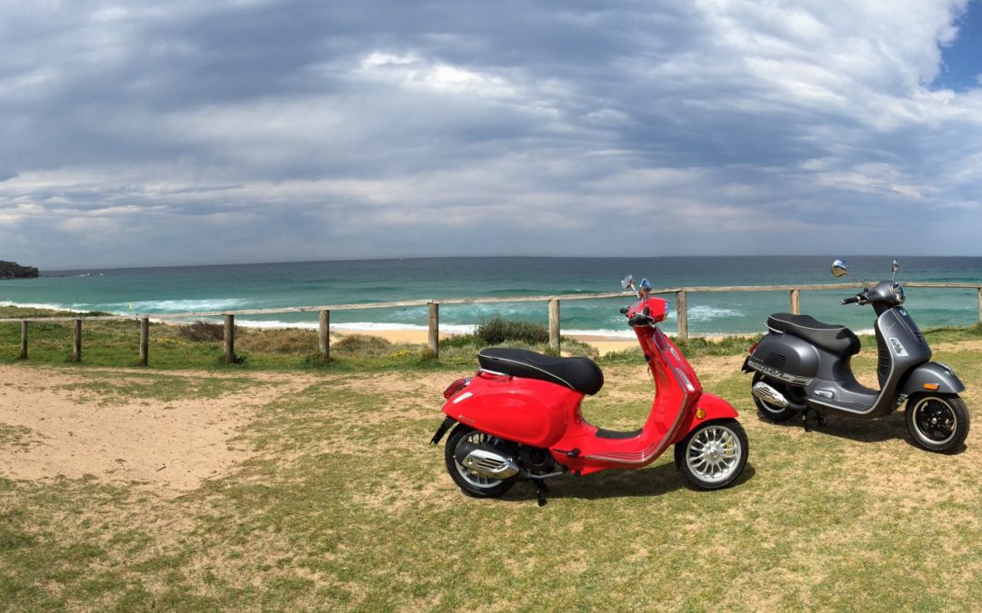
Tent, sleeping bag secured, gear under seat.
I always take care on my rides by sticking to the speed limit, following advisory signs, driving to the conditions and making sure my ride is in good order. Oh, yeah, don’t forget your rain gear!
I started out heading south on our local Memorial Drive and ended up on the Princes Motor Way then taking the Illawarra Highway at Yallah. If you follow through on the Highway you climb up over the ‘mountain’ through the Macquarie Pass (well worth a ride in itself) and on to Moss Vale. We won’t go that far, taking the ‘turn off’ to Jamberoo where the Highway crosses Tongarra Road.
After a couple of roundabouts you will end up on Jamberoo Road itself and it is here the ride for me really started. The scenery is great but the road requires your attention! Jamberoo itself is worth a stop for a cake or two and then it’s off towards Kiama. The road out of Jamberoo is a repeat of the trip in all the way to the princess Highway which you pass under. After the underpass take the first left (Brown Street) at the fire station. We follow Brown to the Highway and turn left to Berry/Nowra. At the time of writing Berry was getting a by-pass which meant road works, and when it’s finished will require a “detour” to get to Berry.
This Brown Street is interesting too as it is passes through a very narrow cutting in a 20 meter rocky out-crop – it’s narrow with no passing and one vehicle in each direction at a time – you know like those narrow bridges you see out bush (we encounter one later at Kangaroo Valley).
Berry is another spot for coffee if you’re so inclined but stopping will make you late for the Dam! I recommend you get at the dam well before dark if you’re making this a day trip or if you’re camping there make sure you give yourself enough time to pitch you tent before it gets dark. Your writer did this trip in late May 2017 when the sun went down about 5:30, in summer it would be later of course. Go through Berry and take a left into Kangaroo Valley Road at the end of town – about 800 meters after the Shell Servo. This road is very interesting, 30/40 kph corners, mostly a 60 speed limit AND several ‘switch backs’ at 15 kph – take care, but it’s well worth the effort with nice scenes and just lovely, quite, isolated riding. This road (after about 16 kms) brings you out at Moss Vale Road where we’ll turn right and head towards Kangaroo Valley (about 3 Kms) – another coffee stop if you like. We want to turn left into Mount Scanzi Road (the other side of town, about 600 meters passed the school on your left). Follow Scanzi till its meets Tallowa Dam Road which will take you all the way to the dam. This latter road is a good one with a mostly 100 kph speed limit and well maintained (the dam needs a good road for maintenance etc.)
The Dam is run by Water NSW and offers toilets, bar-b-ques and picnic tables. Single night camping is allowed. The dam site is apparently the ‘half way’ point for a ‘recommended’ canoe trip on the Shoalhaven so WaterNSW lets paddlers stay overnight as they carry their craft around the dam.
You’ll find the usual fact boards around the dam as well as pretty good views of the dam lake from the dam top itself and at a couple of spots.
Your writer found the dam the most peaceful, unpeopled, quite place he’s been to for many years. It gets busy with paddlers at week- ends I believe but mid-week when I was there, there was only one other camper and they were at the dam top and I could have been the only person for kilometres (except when the ranger did his patrol at 12:30 AM and again at 2;30AM!!! and he/she roared through the car park with their spotlight signing the eyebrows off the sleeping? Koalas!). In fact as I was leaving early on the Friday morning about half a dozen 4WDs with their canoes on top were heading for the dam.
In truth, I didn’t see any Koalas but did see plenty of wallabies, parrots, a wombat (dead unfortunately back out on the road in) and magpies, a lyre bird and bell birds, at least you could hear them. I was fortunate when there, as the night sky was a clear as crystal, the stars! Beautiful! – no moon but it was still bright.
Sunrise the next day – stunning, purples, crimsons and bird song! Unfortunately my sunrise picture didn’t work but take my word for it – it was just beautiful! My return trip took a different track back with a left turn at Moss Vale Road where after about 1 km we see our one lane bridge (Hampden Bridge) – looking like a medieval castle!.
Cross and head up the mountain, your writer encountered fog but left it behind once he got a bit of altitude.
Take care here, it mountainous, tight curves and the occasional impatient road user!. After getting on to Mass Vale Rd we continue for about 16 kms where we will take Myra Vale Road (just after Mannings Lookout Rd) to Robertson. (another great coffee stop). Through Robertson to the Princess Highway/Motorway via Macquarie Pass. Take care on this road as in spots it’s requires your strict attention but is again well worth it. If it’s been raining in the previous few days you see lots of waterfalls as the water tumbles down the mountain. We are heading to Wollongong now where I will leave you if your heading further north.
The lake from the dam top
Happy and Safe riding
Scooter Phil
*Please do your own research before embarking on any trips.